One really exciting and enjoyable aspect of Transportation Engineering is the constant influx of new technologies. For our projects, we are continually examining how to improve our data, our analyses, and ultimately, our recommendations to make the world a safer place.
Several years ago we made the transition from peak-hour-only turning movement counts to 13-hour, and now we’re implementing full 48-hour turning movement counts at study intersections. Using our CountCam2 technology and CountCloud processing, we can efficiently gather this base data which gives us a much better foundation for our studies. And as a result, our decisions are that much better as well.
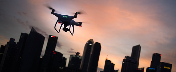
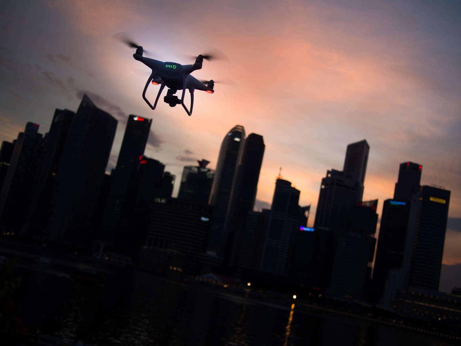
Over the past six months, we have made another move to improve the foundation of data upon which to build our studies — drone footage. Drones seem to be everywhere these days, with delivery companies, wedding photographers, real estate agents, and others exploring how to best make use of them.
For us, their appeal comes in with our campus study projects.
Using Drones for Better Campus Studies
Campus studies are focused on the movements around a set site, like a school or company headquarters. The issues can include parking capacity and location, entry and exits, drop-offs and pick-ups, and conflicts between different types of travel (just to name a few). While our cameras provide counts and spot footage of activity, they don’t provide the overall context.
Enter the drone.
Using a drone provides an overview of the campus compared to the spot views of an intersection camera. Below is an example of drone footage taken earlier this year for a school project.
This vantage point provides us with valuable information about the site that we might not have gotten from intersection cameras or ground observations, including:
- The overall backup associated with the pick-up routine (or lack thereof)
- A general sense of origin-destination (which could also be counted)
- The movements of kids from the school to the cars (including between vehicles or other unsafe movements)
- The movement of kids walking from the school into the surrounding neighborhood (including how and where they exit the campus along with public road crossing points)
- The movement of vehicles not associated with the school around this congestion, like if these drivers have learned to avoid the area
- School bus movements through the campus
- Parents who side-step the official pick-up area, due to congestion or other reasons, and have found a close enough spot for their child to walk to them
The drone video also provides a great public education tool. We can use this to point out specific issues and show the concerns in a convenient way that was previously very difficult to accomplish.
Another practical use that we’re considering is to utilize before-and-after drone footage to show off success stories. Imagine viewing this same sample after we implement some basic mitigation to improve flow and safety — a side-by-side clip showing the reduction in back-ups onto the road alone would impress most school officials and city council members.
Drone footage is just an example of another useful new technology that has worked its way into our standard process for campus (and some corridor) studies. The ability to easily connect dots across a study area is helping us develop better plans for our clients while saving everyone time and resources as operations improve.